Satellite Map
Royal Naval Dockyard
Bermuda

All Caribbean Islands

Hotel Search

Cruise Planning

Excursions Sightseeing Tours

Caribbean Food and Drink Recipes

Caribbean Weather


Essentials
Home
All Islands
Caribbean Map
Photo Gallery
Travel Tips
Site Index
GTCV Forum
______________
Island Vacations
Island Descriptions
When To Go
Where To Stay
What It Costs
What To Do
Air Travel
Car Rental
Luxury Travel
Weddings & Honeymoons
_______________
Cruise Vacations
Planning Tips
Cruise Costs
Cruise Ports
Dining Menus
Shore Excursions
Staying Healthy
What To Pack
Ship Reviews
________________
General Travel Info
Weather & Seasons
Caribbean History
Flora & Fauna
Currency Converter
Travel Insurance
Travel News
Caribbean Calendar
____________
All Topics
Links
____________
GTCV.com
About Us
Contact Us
Disclaimer
Copyright Notice


Bermuda Satellite Map
Royal Naval Dockyard

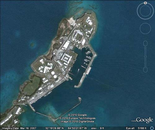
The proper name for the Royal Naval Dockyard is HMD Bermuda (Her/His Majesty's Dockyard, Bermuda).  This Royal Naval Dockyard map explains why this protected strip of land became the primary base of the Royal Navy in the Western Atlantic.  

Bermuda became strategically important following American Independence, a position that lasted for hundreds of years, until the Cold War.

Royal Naval Dockyard Map

Royal Naval Dockyard Satellite Map

To Maps of Bermuda Homepage

To Bermuda Homepage