St. George's Bermuda Map

All Caribbean Islands

Hotel Search

Cruise Planning

Excursions Sightseeing Tours

Caribbean Food and Drink Recipes

Caribbean Weather


Essentials
Home
All Islands
Caribbean Map
Photo Gallery
Travel Tips
Site Index
GTCV Forum
______________
Island Vacations
Island Descriptions
When To Go
Where To Stay
What It Costs
What To Do
Air Travel
Car Rental
Luxury Travel
Weddings & Honeymoons
_______________
Cruise Vacations
Planning Tips
Cruise Costs
Cruise Ports
Dining Menus
Shore Excursions
Staying Healthy
What To Pack
Ship Reviews
________________
General Travel Info
Weather & Seasons
Caribbean History
Flora & Fauna
Currency Converter
Travel Insurance
Travel News
Caribbean Calendar
____________
All Topics
Links
____________
GTCV.com
About Us
Contact Us
Disclaimer
Copyright Notice


Bermuda
St. George's Satellite Map

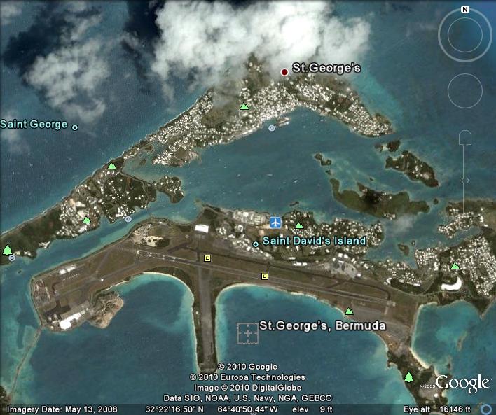
As this map of St. George's parish shows, this is where it's happening. St. George's parish not only is the location of Bermuda's international airport, St. George's town was Bermuda's first permanent settlement and claims to be the oldest continuously inhabited English town in the New World.

St. George's town is one of the most scenic places to visit during the day but tends to go to sleep very, very early.

Bermuda Satellite Map St Georges

To Bermuda Maps Homepage

To Bermuda Homepage